Naugatuck 🇺🇸
-
Nautical Twilight begins:04:18 amSunrise:05:29 am
-
Sunset:08:08 pmNautical Twilight ends:09:20 pm
-
Moonrise:03:26 pm
-
Moonset:03:09 am
-
Moon over:09:48 pm
-
Moon under:09:17 am
-
Visibility:78%
-
 Waxing Gibbous
-
Distance to earth:405,297 kmProximity:0.9 %
Moon Phases for Naugatuck
-
poor Day
-
minor Time:02:09 am - 04:09 am
-
major Time:08:17 am - 10:17 am
-
minor Time:02:26 pm - 04:26 pm
-
major Time:08:48 pm - 10:48 pm
Tide Clock
Tide Graph
Times
| Tide | Time | Height |
|---|---|---|
| low | 02:17 am | 0.92 ft |
| high | 08:25 am | 5.58 ft |
| low | 02:30 pm | 1.05 ft |
| high | 08:45 pm | 6.27 ft |
| Date | Major Bite Times | Minor Bite Times | Sun | Moon | Moonphase | Tide Times |
|---|---|---|---|---|---|---|
|
Sat, 18 May
|
08:17 am -
10:17 am
08:48 pm -
10:48 pm
|
02:09 am -
04:09 am
02:26 pm -
04:26 pm
|
R: 05:29 am S: 08:08 pm |
R: 03:26 pm S: 03:09 am |
Waxing Gibbous |
low: 02:17 am
, 0.92 ft
high: 08:25 am
, 5.58 ft
, Coeff: 88
low: 02:30 pm
, 1.05 ft
high: 08:45 pm
, 6.27 ft
, Coeff: 109
|
|
Sun, 19 May
|
08:57 am -
10:57 am
09:29 pm -
11:29 pm
|
02:28 am -
04:28 am
03:27 pm -
05:27 pm
|
R: 05:29 am S: 08:09 pm |
R: 04:27 pm S: 03:28 am |
Waxing Gibbous |
low: 03:06 am
, 0.72 ft
high: 09:14 am
, 5.64 ft
, Coeff: 90
low: 03:15 pm
, 1.02 ft
high: 09:29 pm
, 6.46 ft
, Coeff: 115
|
|
Mon, 20 May
|
09:38 am -
11:38 am
10:11 pm -
12:11 am
|
02:46 am -
04:46 am
04:30 pm -
06:30 pm
|
R: 05:28 am S: 08:10 pm |
R: 05:30 pm S: 03:46 am |
Waxing Gibbous |
low: 03:51 am
, 0.49 ft
high: 10:00 am
, 5.71 ft
, Coeff: 92
low: 03:57 pm
, 0.98 ft
high: 10:10 pm
, 6.59 ft
, Coeff: 119
|
|
Tue, 21 May
|
10:21 am -
12:21 pm
10:55 pm -
12:55 am
|
03:07 am -
05:07 am
05:35 pm -
07:35 pm
|
R: 05:27 am S: 08:11 pm |
R: 06:35 pm S: 04:07 am |
Full Moon |
low: 04:34 am
, 0.3 ft
high: 10:43 am
, 5.77 ft
, Coeff: 94
low: 04:38 pm
, 0.95 ft
high: 10:50 pm
, 6.69 ft
, Coeff: 122
|
|
Wed, 22 May
|
11:07 am -
01:07 pm
10:33 pm -
12:33 am
|
03:32 am -
05:32 am
06:43 pm -
08:43 pm
|
R: 05:26 am S: 08:12 pm |
R: 07:43 pm S: 04:32 am |
Full Moon |
low: 05:15 am
, 0.16 ft
high: 11:24 am
, 5.84 ft
, Coeff: 96
low: 05:18 pm
, 0.95 ft
high: 11:29 pm
, 6.76 ft
, Coeff: 124
|
|
Thu, 23 May
|
11:57 am -
01:57 pm
11:23 pm -
01:23 am
|
04:03 am -
06:03 am
07:51 pm -
09:51 pm
|
R: 05:26 am S: 08:13 pm |
R: 08:51 pm S: 05:03 am |
Full Moon |
low: 05:55 am
, 0.1 ft
high: 12:05 pm
, 5.91 ft
, Coeff: 98
low: 05:58 pm
, 0.92 ft
|
|
Fri, 24 May
|
12:19 am -
02:19 am
12:50 pm -
02:50 pm
|
04:42 am -
06:42 am
08:58 pm -
10:58 pm
|
R: 05:25 am S: 08:13 pm |
R: 09:58 pm S: 05:42 am |
Full Moon |
high: 12:08 am
, 6.79 ft
, Coeff: 125
low: 06:35 am
, 0.07 ft
high: 12:45 pm
, 5.94 ft
, Coeff: 99
low: 06:39 pm
, 0.89 ft
|


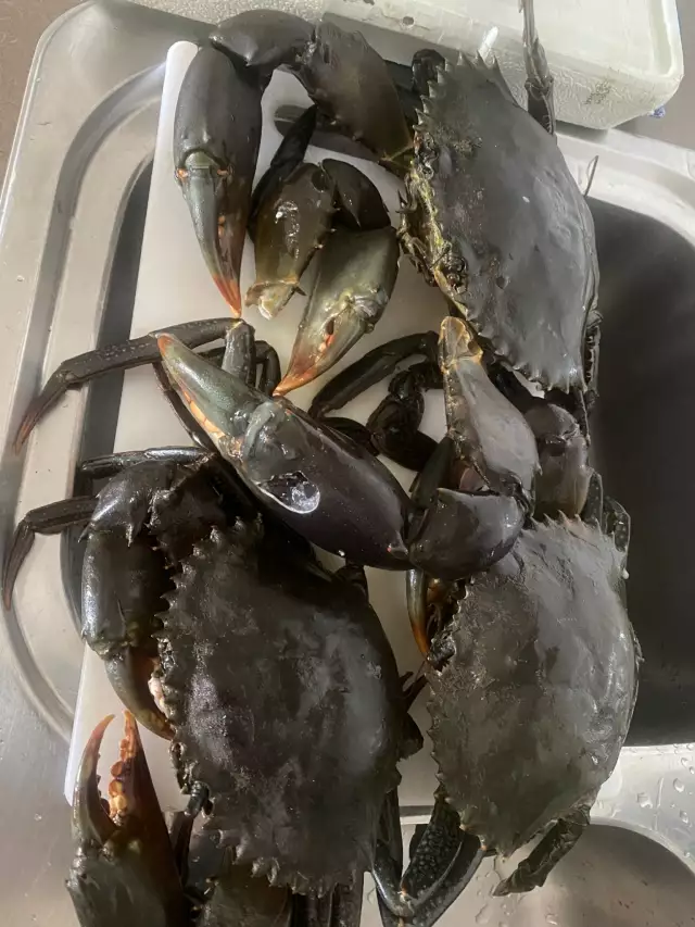
uploaded by: Southoman65

uploaded by: Southoman65

uploaded by: SWFLFishing0714

uploaded by: SWFLFishing0714

uploaded by: Cavaliers
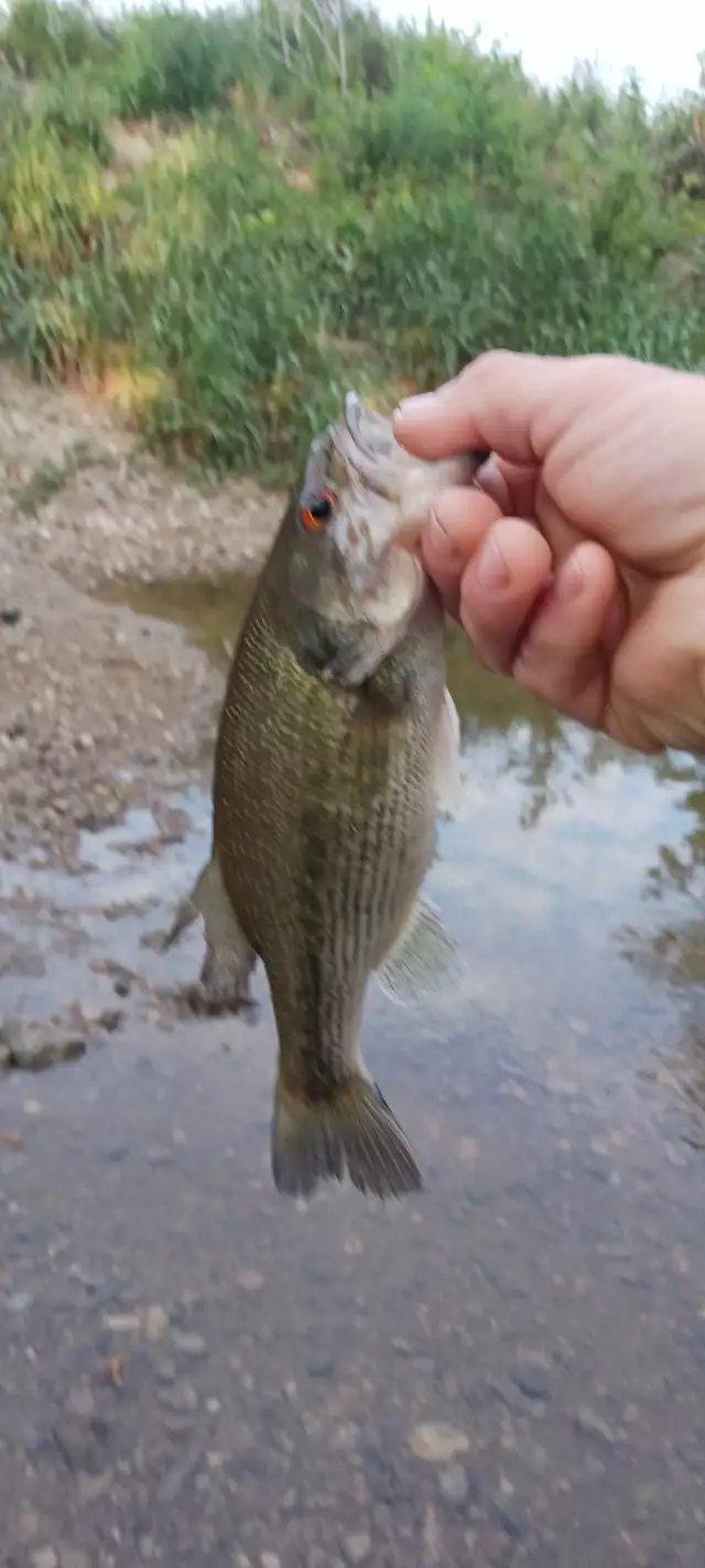
uploaded by: Charlie Pifer

uploaded by: Charlie Pifer

uploaded by: LHCSURFCAT

uploaded by: Banana Belt Billy

uploaded by: ppace1278
Best Fishing Spots in the greater Naugatuck area
We found a total of 99 potential fishing spots nearby Naugatuck. Below you can find them organized on a map. Points, Headlands, Reefs, Islands, Channels, etc can all be productive fishing spots. As these are user submitted spots, there might be some errors in the exact location. You also need to cross check local fishing regulations. Some of the spots might be in or around marine reserves or other locations that cannot be fished. If you click on a location marker it will bring up some details and a quick link to google search, satellite maps and fishing times. Tip: Click/Tap on a new area to load more fishing spots.
Salem Bridge - 0km , Union City Dam - 1km , Thurston Pond Dam - 2km , Mulberry Reservoir Dam - 2km , Baummer Pond - 3km , Barbers Pond - 3km , Water Company Pond Number 1 - 3km , Union Ice Company Pond - 3km , Hop Brook Dam - 3km , Schildgen Pond - 3km , Chanko Pond - 4km , Beer Pond - 4km , Straitsville Reservoir Dam - 4km , Pakovitch Ponds Number 1 - 4km , Old Naugatuck Reservoir Dam - 4km , Towantic Pond Dam - 5km , Towantic Pond - 5km , Hills Pond Number 1 - 5km , Hills Pond Number 2 - 5km , Seymour Reservoir Number 4 Dam - 5km , Risdon Pond Dam - 5km , Pritchards Pond Dam - 5km , Pritchards Pond - 5km , Long Meadow Pond Dam - 5km , East Mountain Reservoir Dam - 6km , Waterbury Reservoir Number 2 Dam - 6km , Straw Pond - 6km , Seymour Reservoir Number 3 Dam - 6km , Seymour Reservoir Number 2 Dam - 6km , Seymour Reservoir Number 1 Dam - 6km , New Naugatuck Reservoir Dam - 6km , City Mills Ponds - 7km , Carrington Pond Dam - 7km , East Brass Mill Dam - 7km , Turtle Pond - 7km , John Dees Pond Dam - 7km , Pine Bridge - 7km , Carrington Pond - 8km , Abbotts Pond - 8km , Fenn Pond - 8km , Lake Elise Dam - 8km , Peck Pond - 8km , Little Tracys Pond - 8km , Mad River Dam - 8km , Cheshire Reservoir Dam - 9km , Brooks Pond - 9km , Beetle Bung Pond - 9km , Frost Road Pond - 9km , Swan Lake Dam - 9km , Sperry Pond Dam - 9km , Lower Fulton Park Pond - 9km , Bladens River Dam - 10km , Belleview Lake Dam - 10km , Wire Company Dam Number 2 - 10km , Great Brook Reservoir Dam - 10km , Upper Fulton Park Pond - 10km , Tylers Cove - 10km , Hoadley Pond Dam - 10km , Kerite Dam - 10km , Lake Quassapaug Dam - 10km , Papermill Pond - 10km , Larsens Pond - 10km , Mystic Reservoir South Dam - 10km , Mixville Pond Dam - 10km , Mixville Pond - 10km , Miry Dam Pond - 10km , Broad Street Bridge - 11km , Big Cove - 11km , Farmington Canal Lock - 11km , Atwood Pond - 11km , Theriaults Ice Pond - 11km , Lake Bethany Dam - 11km , Rimmon Dam - 11km , Nichols Pond - 11km , Cornelis Dam - 12km , Woodtick Reservoir Dike - 12km , Woodtick Reservoir Dam - 12km , Lake Wequapauset - 12km , Pin Shop Pond Dam - 12km , Moss Farms Pond Dam - 12km , Hancock Pond - 12km , Lake Winnemaug Dam - 12km , Lake Chamberlain Dam - 12km , Hitchcock Lake - 12km , Hitchcock Lake Dam - 12km , Reichenback Pond - 13km , Peat Swamp Reservoir Dam - 13km , Jepp Pond - 13km , Glen Lake Dam - 13km , Southington Reservoir Number 2 Dam - 13km , Southington Reservoir Number 3 Dam - 13km , Kinneytown Dam - 13km , Spring Lake - 13km , Echo Lake Dam - 13km , Sylvan Lake - 13km , Middle Reservoir Dam - 13km , Farm Brook Dam Site 1 - 13km , Chestnut Hill Dam - 13km , Cat Swamp Pond Dam - 13km
Comments